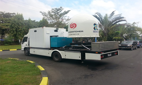
To enhance PAGASA’s weather data gathering capabilities, radar dopplers, automatic rain gauges (ARG) and automatic weather stations (AWS) were installed throughout the country. These ARGs and AWSs are automated version of the traditional weather station that enables measurements of parameters such as barometric pressure, atmospheric pressure, air temperature, relative humidity, wind speed and direction from remote areas using meteorological sensors attached to rechargeable batteries powered by solar panels. With the use of mobile technology, these stations report through the telecommunication networks.

See more!    View Map

OBSERVATIONS


Weather Forecast


Satellite Maps


LEARN MORE VIEW MAP!

WEATHER


Automatic Raingauges

ARGs spread throughout the nations to measure rainfall value with 15 mins interval.

Weather Stations

AWSs spread throughout the nations to measure rainfall value with 1 hour interval.

Waterlevel Stations

Measures the elevation of a river basin, its river and tributaries.

Satellite Images

Used for monitoring clouds and cloud systems as well as other environmental information necessary for monitoring the weather and climate.

Radar Stations

Also used for monitoring cloud activities to monitor clouds with rainfall content.

Weather Camera

Weather cameras are installed for AWS visual monitoring of stations.

Flood Forecasting and Warning System

use of real-time precipitation and streamflow data in rainfall-runoff and streamflow routing models to forecast flow rates and water levels for periods ranging from a few hours to days ahead, depending on the size of the watershed or river basin.

Cyclone Tracking

Lets you track tropical cyclones with three day intervals with visualization.

ABOUT


Contact Information


Location : Science Garden Complex Agham, Road Diliman, Quezon City PHILIPPINES 1100.

Telephone : (632) 434-2696

FAX : (632) 434-2696

E-mail : piias@pagasa.dost.gov.ph

FAX : www.pagasa.dost.gov.ph


Developed by : PAGASA DOST ETSD - ICT @ 2015